
Runit Dome radioactive waste site faces rising sea and structural risks
This digest was compiled by AI from multiple sources — links to the originals are below.
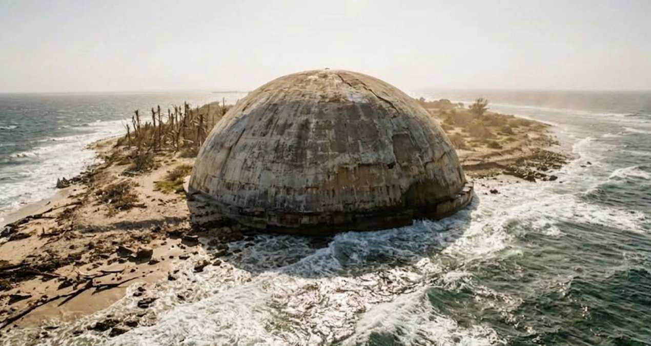
The concrete dome on Runit Island in the Marshall Islands, containing about 85,000 cubic meters of radioactive waste from U.S. nuclear tests, is leaking and threatened by rising sea levels. Cracks were found in 2018 and a 2024 U.S. laboratory report confirmed seawater intrusion into the structure. The atoll sits about two meters above sea level, with projections showing a possible one-meter rise by 2100.
Key Facts
- The Runit Dome contains about 85,000 cubic meters of radioactive material, including plutonium-239 with a half-life exceeding 24,000 years.
- The dome is 115 meters in diameter with a 45-centimeter-thick concrete cap, but its floor was never sealed with concrete.
- A 2024 report by Pacific Northwest National Laboratory confirmed seawater is seeping into the structure and contacting buried waste.
- Runit Island sits about two meters above sea level, and projections indicate sea level could rise by about one meter by the end of the century.
Waste Storage History
The United States conducted an 18-kiloton Cactus nuclear test on Runit Island in 1958, creating a large crater. Between 1977 and 1980, the U.S. government collected contaminated soil and radioactive debris from dozens of nuclear tests in the region into that crater. The waste was capped with a concrete dome 115 meters in diameter and 45 centimeters thick. The stored material includes plutonium-239 with a half-life of more than 24,000 years.
Structural Integrity Failures
During construction, no concrete sealing layer was applied to the crater floor due to cost considerations. This left the waste in contact with the atoll's porous structure and surrounding ocean water. Inspections in 2018 found cracks on the dome surface, and soil samples outside showed elevated radiation levels. A 2024 report by Pacific Northwest National Laboratory, requested by the U.S. Congress, confirmed seawater intrusion into the facility and direct contact with buried waste.
Sea Level and Seismic Risks
Runit Island is located about two meters above sea level. Climate projections indicate sea level in the region could rise by about one meter by the end of the century. The atoll also lies in an earthquake and tsunami zone, increasing risks to the structure's integrity.
1 source
Time · lag behind first