
Scientists develop seismic method to map lunar water ice hundreds of metres deep
This digest was compiled by AI from multiple sources — links to the originals are below.
A team from Lawrence Berkeley National Laboratory, the University of Maryland and the University of Hawaii has developed a seismology-based method to map water ice buried hundreds of metres beneath the Moon's surface. The study, published in Science Advances, uses laboratory experiments and computer models to show that seismic waves travel two to three times faster through ice-rich soil than through dry regolith. The approach could help narrow search areas for future sampling missions without the need for deep drilling.
Key Facts
- The study was published open-access in Science Advances by researchers from Lawrence Berkeley National Laboratory, the University of Maryland, and the University of Hawaii.
- Seismic waves are predicted to travel two to three times faster through ice-rich lunar soil than through dry regolith, based on laboratory experiments and computer models.
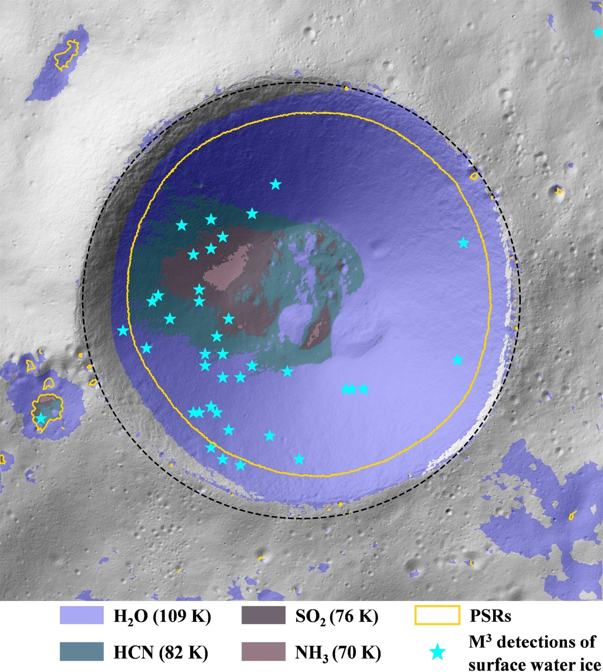
- In 2009, NASA's LCROSS mission detected water and other volatiles in the plume from the Centaur rocket stage impact into Cabeus crater.
- The proposed seismic method could map water ice at depths of hundreds of metres, beyond the reach of practical rover drilling.
Seismic Mapping Approach
The team proposes using seismology to measure how vibrations from moonquakes, impacts, or controlled sources move between instruments. By analyzing wave speed, echoes, and scattering, researchers can infer where ice-rich regolith begins and ends. Laboratory experiments used JSC-1A, a crushed volcanic material that simulates lunar regolith, to test the method. Synchrotron X-ray images, thermal calculations, and rock-physics models supported the development of the technique.
Limits of Current Detection
Orbital instruments have detected hydrogen, surface frost, and other evidence of water around the lunar poles, but cannot reveal the three-dimensional shape of deposits. A remotely detected signal may come from a shallow veneer, scattered grains, or a concentrated body hidden below dry material. Resource planners need depth, thickness, concentration, and lateral extent, not just a coloured pixel labelled 'hydrogen'. Drilling provides direct evidence but becomes increasingly difficult with depth due to mass, power, and thermal constraints.
1 source
Time · lag behind first