
At current pace, deep-sea visual survey would take 100,000 years, Ocean Discovery League estimates
This digest was compiled by AI from multiple sources — links to the originals are below.
Scientists led by Katherine Croff Bell of Ocean Discovery League estimate that visual surveys have covered between 0.0006 and 0.001 percent of the deep seafloor, or at most 3,823 square kilometers. At the current average rate of 2.9 square kilometers per system per year, even 1,000 deep-sea vehicles would need more than 100,000 years to image the entire seabed. The team compiled 43,681 dive records from 1958 to 2024 while acknowledging that proprietary and classified data could mean coverage is undercounted.
Coverage Estimate
The calculation appears in a 2025 Science Advances paper led by Katherine Croff Bell of Ocean Discovery League. The team compiled 43,681 records of visual dives deeper than 200 metres, spanning 1958 to 2024. Two methods estimated the area actually imaged at between 0.0006 and 0.001 percent of the deep seabed, or at most 3,823 square kilometres. The deep seafloor, defined as seabed at least 200 metres below the surface, covers about 335.7 million square kilometres, roughly two-thirds of Earth's surface.
Annual Survey Rate
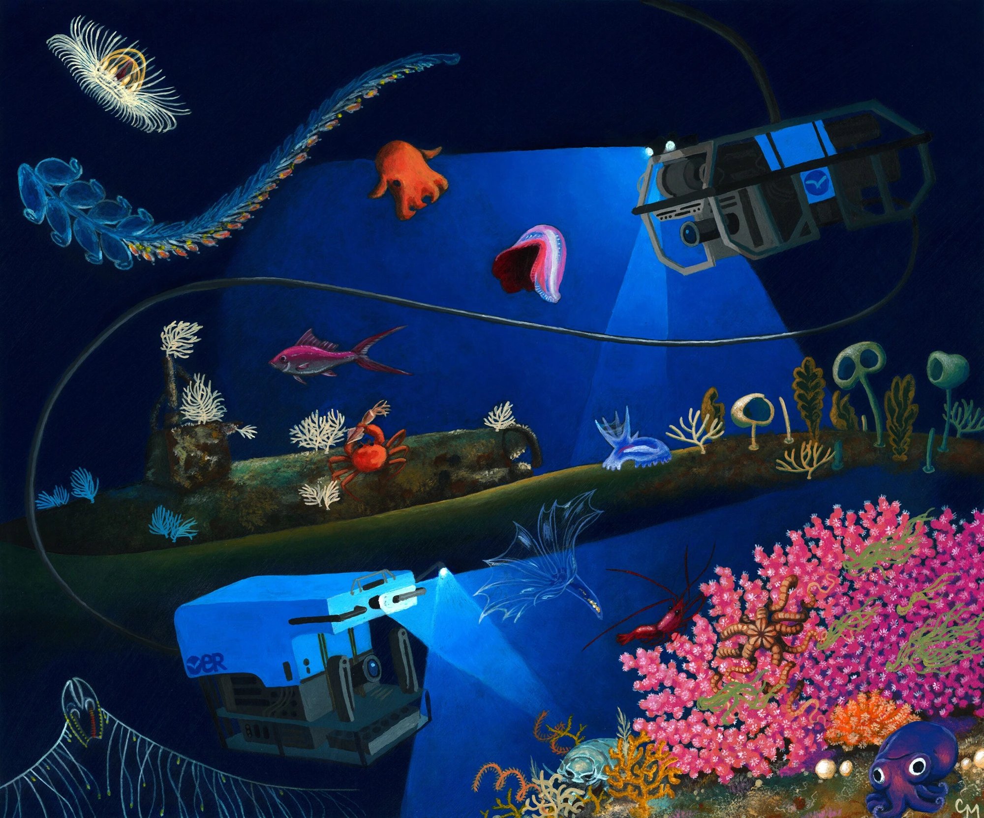
The team built its annual-rate estimate from operational records for one human-occupied vehicle, five remotely operated vehicles and three towed-camera systems, including Alvin, Jason and Jason 2, Hercules, Little Hercules, Deep Discoverer, Argo, Argo 2 and Medea. For each system, researchers combined time on the seafloor with an assumed speed and a visual swath ten metres wide. Annual averages ranged from 0.59 square kilometres for Little Hercules to 6.05 for Alvin, with a mean of 2.9 square kilometres per year. At that rate, a fleet of 1,000 systems would record about 2,900 square kilometres per year, requiring roughly 115,800 years to cover the deep seafloor once.
Data Gaps
The database remains incomplete because commercial oil, gas and telecommunications imagery may be proprietary, while classified and embargoed dives were inaccessible. Some scientific records were missing or lacked navigational detail. The authors acknowledged that coverage could be undercounted, but argued that even an error of a full order of magnitude would leave visual records for less than one hundredth of one percent of the deep seabed. Mapping the bottom is not the same as looking at it — bathymetric mapping has covered a larger share of the ocean floor, but direct visual observation is much smaller.
1 source
Time · lag behind first