
Kyoto University researchers map thermosphere using 1,200 Starlink satellites
This digest was compiled by AI from multiple sources — links to the originals are below.
Kyoto University researchers announced August 12 that they reconstructed thermospheric density about 500 km above Earth using orbital data from roughly 1,200 Starlink satellites. The team applied tomography to satellite orbit decay to produce the first two-dimensional latitude-longitude map of the thermosphere. The method could sharpen satellite tracking and reduce collision risk even as low Earth orbit grows more crowded.
The Technique
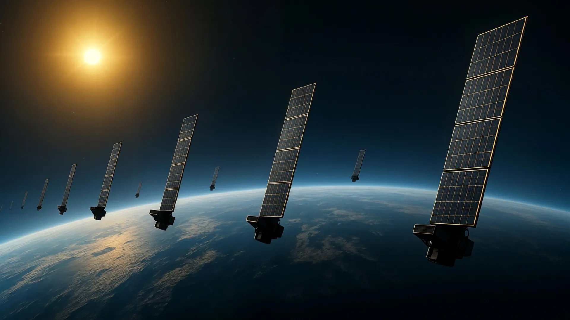
Kyoto University researchers used publicly available orbital information from Starlink satellites and applied tomography to Earth’s upper atmosphere. By examining atmospheric drag through the gradual decay of satellite orbits, the team estimated thermospheric density around approximately 1,200 satellites flying at 482 kilometers. Corresponding author Mamoru Yamamoto described the study as multidisciplinary, bridging space science and space engineering. The researchers produced a two-dimensional latitude-longitude snapshot at roughly 500 kilometers, which they say is the first tomographic analysis of its kind.
Observation Gap
More than 99 percent of the upper atmosphere consists of electrically neutral gas known as the thermosphere, located between about 100 and 1000 kilometers above Earth. Ionized gas in the ionosphere accounts for less than 1 percent but is easier to observe because it affects how radio waves travel. Accurately measuring thermospheric density at these heights is important for forecasting satellite motion and reducing collision risk. Thousands of satellites and pieces of space debris now move through low Earth orbit, making such measurements increasingly urgent.
2 sources
Time · lag behind first