
NASA Starling mission demonstrates GPS-free navigation using satellites and debris
This digest was compiled by AI from multiple sources — links to the originals are below.
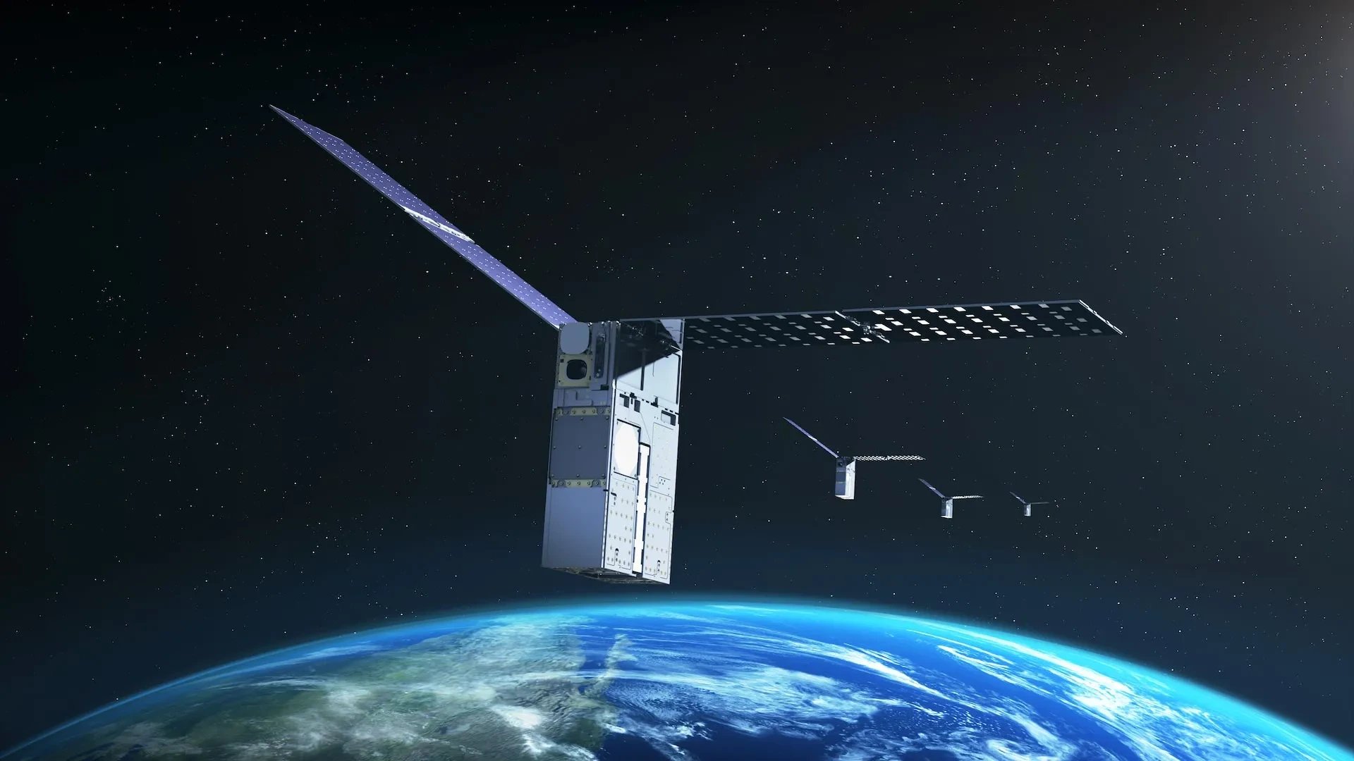
NASA's Starling mission demonstrated FALCON, a system that determines a satellite's orbital position using other space objects as reference points without GPS. The technology, developed with startup EraDrive, could support future lunar and deep-space missions. The demonstration also refined orbital estimates for about 20,000 cataloged space objects.
Key Facts
- FALCON (Fast Autonomous Lost-in-space Catalog-based Optical Navigation) is a joint flight experiment by NASA and EraDrive, a Stanford University startup.
- The system uses Starling's onboard star tracker cameras and a catalog of known satellites to calculate the spacecraft's orbit without GPS.
- Mission controllers loaded a catalog of approximately 20,000 space objects and their predicted orbits onto Starling for the experiments.
- Roger Hunter, program manager for NASA's Small Spacecraft and Distributed Systems program, said FALCON results can have far-reaching implications for space-traffic monitoring and collision avoidance.
FALCON Technology
FALCON combines EraDrive's Era-Core flight software and embedded algorithms with Starling's cameras and an onboard catalog of known satellites. The system enables GPS-independent navigation while helping the spacecraft track activity and objects in its surroundings. During position, navigation, and timing experiments, FALCON identified objects seen by Starling's cameras, including other spacecraft and orbital debris, and compared them with a publicly available catalog maintained by the U.S. Department of War. Once the observed objects were identified and verified, FALCON used them as reference points to calculate Starling's orbit.
Orbital Estimate Refinement
A separate set of experiments tested whether the spacecraft could improve orbital estimates for the objects it observed. Mission controllers loaded a catalog containing approximately 20,000 space objects and their predicted orbits onto Starling. FALCON compared the catalog information with observations gathered by Starling's cameras and calculated Starling's position while refining the estimated locations of other objects in space.
1 source
Time · lag behind first