
PLO bureau says Israel's Blue Line team reclassified 49 acres for settlements
This digest was compiled by AI from multiple sources — links to the originals are below.
Israel's Civil Administration Blue Line Team re-demarcated nearly 0.2 sq km (49 acres) in the northern and central West Bank, reclassifying land from 'state land' to land designated for settlement activity, according to a mid-September report by the PLO-affiliated National Bureau for Defending Land and Resisting Settlements. The reclassified land belonged to the Palestinian villages of Jalud, Qaryut, Turmusayya and al-Mughayyir. The bureau argues the team has evolved from a technical mechanism into a tool to accelerate settlement expansion.
Key Facts
- The Blue Line Team was officially established in 1999 within Israel's Civil Administration.
- The team recently re-demarcated almost 0.2 sq km (49 acres) in the northern and central West Bank, reclassifying it from 'state land' to land designated for settlement activity.
- The reclassified land belonged to the Palestinian villages of Jalud, Qaryut, Turmusayya and al-Mughayyir.
- The United Nations has said the Blue Line revisions have essentially expanded the boundaries of land classified by Israel as state property.
- In August 2025, an Israeli settler was shot while encroaching on Palestinian land in al-Mughayyir.
The Blue Line Team
The Blue Line Team was officially established in 1999 within Israel's Civil Administration. Its primary role is to identify and formally designate areas that Israeli authorities classify as 'state land'. The team comprises surveyors, cartographers and legal experts who use modern surveying technology and geographic information systems to review and redraw boundaries on official maps. Israel's Civil Administration has argued that Blue Line revisions are technical corrections of historic surveying errors. The United Nations has said that the revisions have essentially expanded the boundaries of land classified by Israel as state property.
Settlement Expansion Mechanism
The PLO-affiliated National Bureau for Defending Land and Resisting Settlements argues that the Blue Line team has evolved from a technical mechanism for boundary demarcation into a tool increasingly used to accelerate settlement expansion and legitimise settlement outposts. The team recently re-demarcated areas in the northern and central West Bank totalling almost 0.2 sq km (49 acres) that were reclassified from 'state land' to land designated for settlement activity. That included land that belonged to the Palestinian villages of Jalud, Qaryut, Turmusayya and al-Mughayyir. Land included within the boundaries Israel recognises as 'state land' can subsequently be allocated for settlement projects, which are illegal under international law.
Al-Mughayyir Land Loss
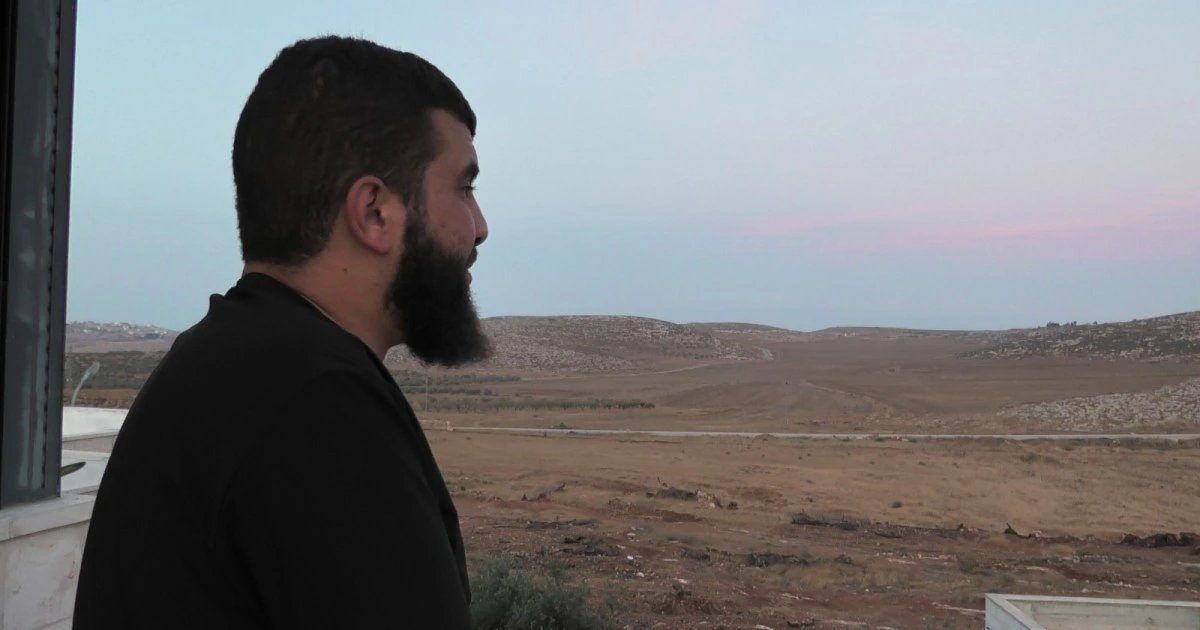
Bilal Abu Alia, a resident of al-Mughayyir northeast of Ramallah, says Israeli authorities have taken most of his family's land. Of their original 0.4 sq km (100 acres), the family can now access only a small area that includes their home and a few olive trees. In August 2025, an Israeli settler was shot while encroaching on Palestinian land in al-Mughayyir. Al Jazeera has reached out to Israeli authorities for comment but has yet to receive a response.
1 source
Time · lag behind first