
LiDAR uncovers 2.5 km of hidden Inca roads near Machu Picchu
This digest was compiled by AI from multiple sources — links to the originals are below.
Researchers from Peru and Poland mapped over 2.5 kilometers of previously unrecorded roads in the Mandor area of Machu Picchu National Archaeological Park using LiDAR technology. The findings include a possible ceremonial route leading toward the sacred Yanantin Mountain. Fieldwork is planned for late 2026 to early 2027 to confirm dating and function.
Key Facts
- LiDAR scanning in the Mandor area of Machu Picchu National Archaeological Park revealed more than 2.5 kilometers of previously unrecorded roads.
- One main route can be traced for at least 1.2 kilometers and shows zigzag construction similar to Inca building techniques.
- The structure known as the Mandor Wall may have served as a raised ceremonial road toward the 4,100-meter Yanantin Mountain.
- Researchers plan direct fieldwork in late 2026 to early 2027 to determine construction dates and possible ceremonial use.
LiDAR Discovery
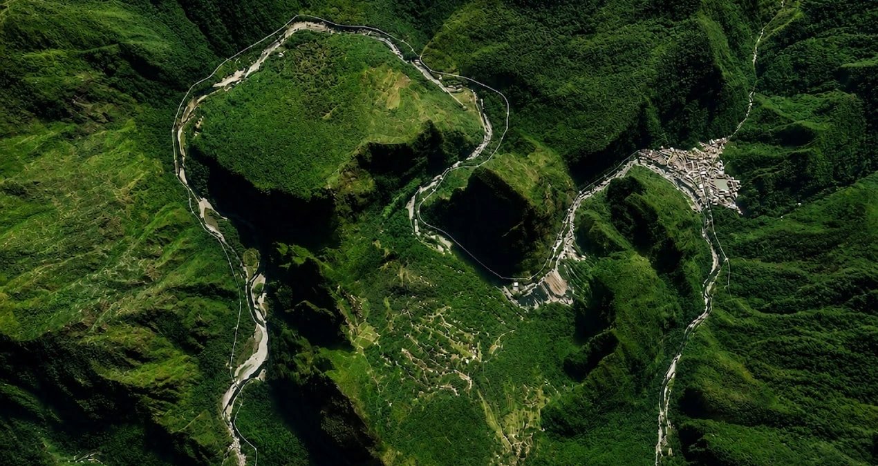
The discovery was made during research by teams from Peru and Poland in Machu Picchu National Archaeological Park. LiDAR technology mapped the terrain beneath dense vegetation, revealing structures invisible to the naked eye. Scans focused on the Mandor area in the Urubamba Valley on the opposite side of Machu Picchu. The survey identified more than 2.5 kilometers of unrecorded roads along with possible terraces and platforms.
Mandor Wall Reinterpretation
The Mandor Wall reaches heights of 2 to 3 meters at some points and was previously thought to be a defensive structure. Nino del Solar Velarde, coordinator of archaeological research at Machu Picchu, said there is no clear evidence of conflict to justify such a large defensive construction. The structure's orientation extends toward Yanantin Mountain, which rises to about 4,100 meters. In Inca culture, high mountains could be considered sacred beings called apu, leading researchers to suggest the wall may have functioned as a raised ceremonial road.
Planned Fieldwork
Researchers plan direct fieldwork on the discovered routes in late 2026 to early 2027. The investigations aim to determine when the roads were built and whether they were used in religious ceremonies.
1 source
Time · lag behind first