Israeli Military Releases Map of South Lebanon Control
This digest was compiled by AI from multiple sources — links to the originals are below.
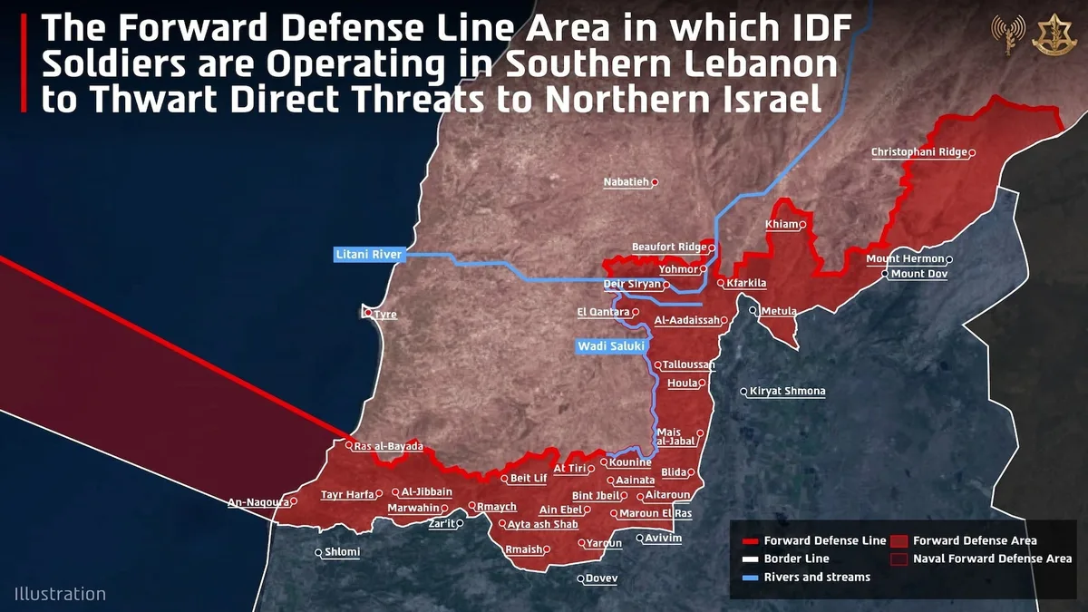
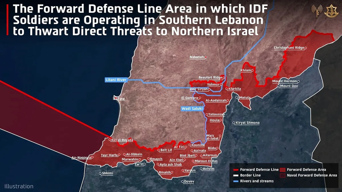
The Israeli military has published a map detailing areas of southern Lebanon under its control. The release aims to clarify territorial boundaries amid ongoing tensions. This move comes even as regional conflicts persist.
Territorial Map Release
The Israeli Defense Forces (IDF) have released a map showing specific areas in southern Lebanon that are under Israeli control. This publication comes amid heightened tensions between Israel and Hezbollah. The map outlines key strategic locations, including several villages near the border. The IDF aims to provide clarity on territorial demarcations to both local and international observers.
Regional Tensions
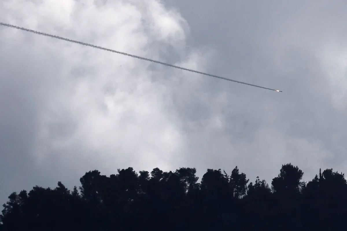
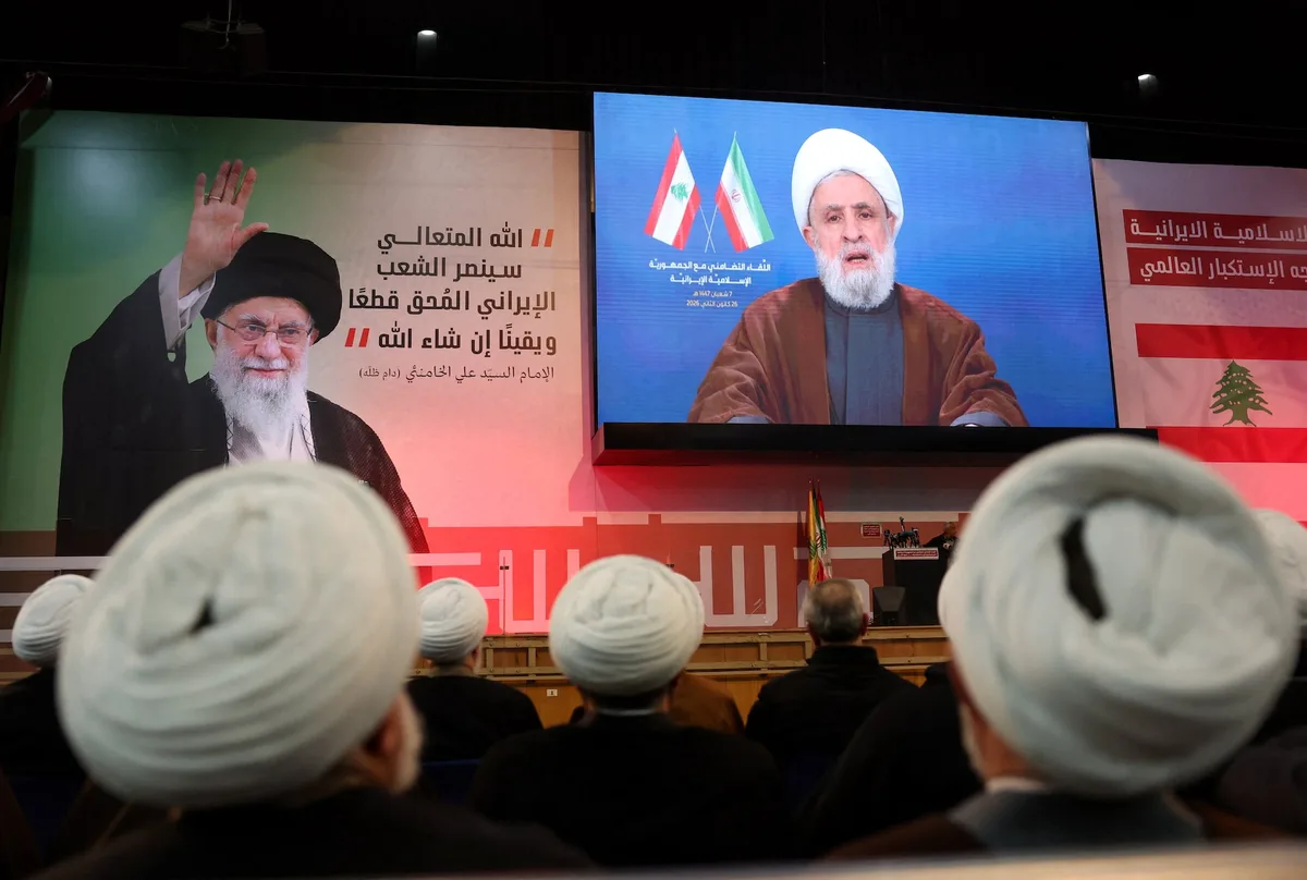
The release of the map occurs as tensions remain high between Israel and Lebanon. Hezbollah, a significant political and military force in Lebanon, has previously clashed with Israeli forces. The United Nations has been monitoring the situation closely, with peacekeeping forces stationed along the border. Despite diplomatic efforts, sporadic skirmishes have continued to disrupt peace in the region.
Greater Israel Concept
The video introduces the concept of Greater Israel, a vision inspired by ancient texts that reimagines Israel's boundaries to include neighboring regions. This ideological framework provides context for territorial claims beyond current borders.
What's Next
The United Nations Security Council is scheduled to discuss the situation next week. It remains unclear whether the map release will impact ongoing peace negotiations.
2 sources
Israeli Military Releases Map of South Lebanon Control